| Maps > United States > Texas |
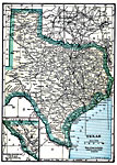 |
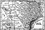
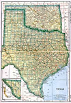
Texas, 1919 A map of Texas, showing railroads and cities. |
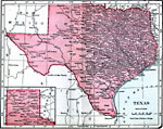 |
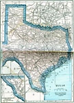
Texas, 1906 Map of Texas in 1906. |
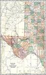 |
Western Texas, 1920 The western portion of the state of Texas. |
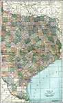 |
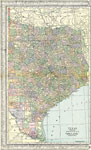
Eastern Texas, 1920 The eastern part of the state of Texas. |
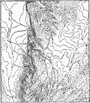 |
Trans-Pecos Highlands, Texas, 1911 A fault-block mountain in the Trans-Pecos Highlands, Texas. |
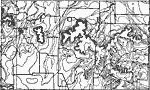 |
Callaban Divide, 1911 A map showing the summits of the Callaban Divide on the Great Plains of Texas. |
|
Trans-Pecos Highlands, Texas, 1911 A fault-block mountain in the Trans-Pecos Highlands, Texas. |
|
Callaban Divide, 1911 A map showing the summits of the Callaban Divide on the Great Plains of Texas. |
 |
Cross Timbers of Texas, A map showing the cross timbers of Texas. |
 |
Map of Texas, Map of Texas. |
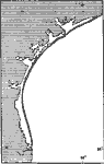 |
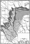
Coastal Features of Texas, A map showing the coastal features of Texas, long, simple sand reefs enclosing narrow lagoons. |
 |
Texas, Post World War I Map of Texas. |
 |
Texas, 1922 Physical map of Texas. |
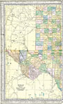 |
Texas (Western Part), 1920 Map of the western part of Texas. |
 |
Texas (Eastern Part), 1920 Map of the eastern part of Texas. |
|
Texas, 1919 A map of Texas, showing railroads and cities. |
| New Search | 1 |
| Maps > United States > Texas |
Maps is a part of the Educational Technology Clearinghouse
Produced by the Florida Center for Instructional Technology © 2007
College of Education, University of South Florida