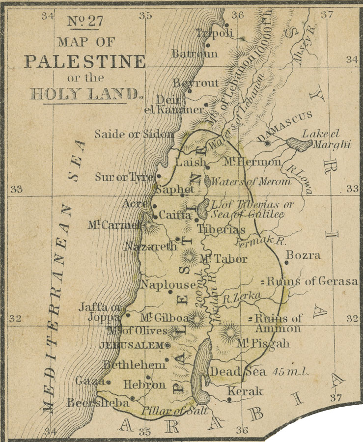
Description: A map from 1858 of Palestine, also known as the Holy Land. The map shows the territory of Palestine as defined at the time in yellow, and includes historic cities and sites mentioned in the Bible. Rivers, terrain, and coastal features are shown.
Place Names: Palestine, Nazareth, �Jerusalem, �Bethlehem, Gaza, �Beersheba, �Hebron, Acre, Laish, Palestin
ISO Topic Categories: boundaries,
inlandWaters,
location,
oceans,
transportation,
structure
Keywords: Palestine or the Holy Land, political, �physical, physical features, country borders, boundaries,
inlandWaters,
location,
oceans,
transportation,
structure, Unknown, 1858
Source: , Mitchell's School Atlas (Philadelphia, PA : E. H. Butler & Co., 1863)
Map Credit: Courtesy the private collection of Roy Winkelman |
|