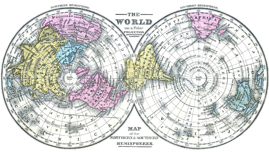
Description: A map of the northern and southern hemispheres from 1863 showing the world centered on the north and south poles, with the equator at the outer edge.
Place Names: A Complete Map of Globes and Multi-continent, Africa, �Antarctica, �Asia, �Australia, �Europe, �North America, �South America, �Tartary, Mozambique, Desert Of Cobi, Bucharia, Teheran, Cabul, Thibet, Niphon, Senegambia, Arabia, Ceylon, Hue, Loochoo Islands, Barbary, Behrings Strai
ISO Topic Categories: location,
oceans,
inlandWaters
Keywords: Map of the World on a Polar Projection, physical, �historical, physical features, historical event, location,
oceans,
inlandWaters, Unknown, 1840–1841
Source: , Mitchell's School Atlas (Philadelphia, Pennsylvania: E. H. Butler & Co., 1863)
Map Credit: Courtesy the private collection of Roy Winkelman |
|