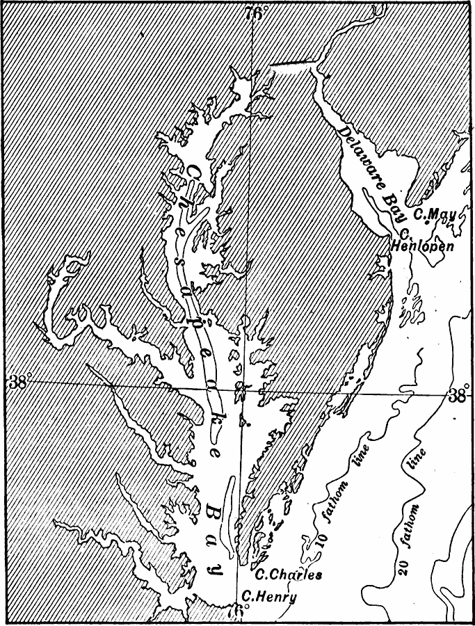
Description: A base map from 1911 of the Chesapeake Bay and Delaware Bay, including the principal bays tributary to them. The map shows the coastal features of Cape May, Cape Henlopen, Cape Charles, and Cape Henry, and the 10 and 20 fathom contour lines.
Place Names: Atlantic States, Atlantic Ocean, �East Coas
ISO Topic Categories: inlandWaters,
oceans,
location
Keywords: Chesapeake Bay, physical, physical features, inlandWaters,
oceans,
location, Unknown, 1911
Source: Isaiah Bowman, Ph. D, Forest Physiography (New York, NY: John Wiley and Sons, 1911) 519
Map Credit: Courtesy the private collection of Roy Winkelman |
|