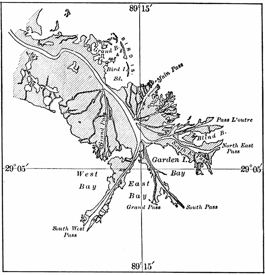
Description: A map from 1911 of the lower Mississippi Delta, showing the finger–like extensions of the bird's–foot delta. The entire area shown as land is swamp-land.
Place Names: Louisiana,
ISO Topic Categories: geoscientificInformation,
location,
oceans,
inlandWaters
Keywords: Mississippi Delta, physical, physical features, geoscientificInformation,
location,
oceans,
inlandWaters, Unknown, 1911
Source: Isaiah Bowman, Ph. D, Forest Physiography (New York, NY: John Wiley and Sons, 1911) 525
Map Credit: Courtesy the private collection of Roy Winkelman |
|