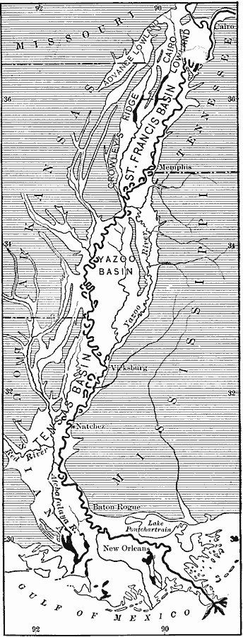
Description: The lower alluvial valley of the Mississippi.
Place Names: Southern States, New Orleans, �Baton Rouge, �Vicksburg, �Natchez, �Cairo, �Mississippi River, �The Sout
ISO Topic Categories: boundaries,
inlandWaters,
location,
oceans
Keywords: Lower Alluvial Valley of the Mississippi, physical, �political, physical features, major political subdivisions, boundaries,
inlandWaters,
location,
oceans, Unknown, 1911
Source: Isaiah Bowman, Ph. D, Forest Physiography (New York, NY: John Wiley and Sons, 1911) 527
Map Credit: Courtesy the private collection of Roy Winkelman |
|