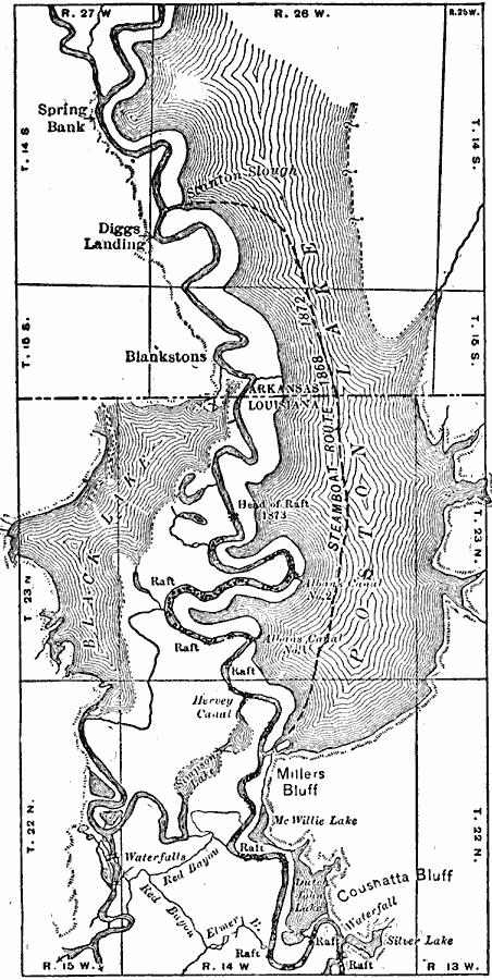
Description: The growth and drainage of the raft lakes at the Arkansas-Louisiana state line.
Place Names: Southern States, Spring Bank, �Arkansas, �Louisian
ISO Topic Categories: location,
inlandWaters
Keywords: Drainage of Raft Lakes, physical, �hydrological, �political, kHydrologic, physical features, major political subdivisions, drainage basins, location,
inlandWaters, Unknown, 1911
Source: Isaiah Bowman, Ph. D, Forest Physiography (New York, NY: John Wiley and Sons, 1911) 538
Map Credit: Courtesy the private collection of Roy Winkelman |
|