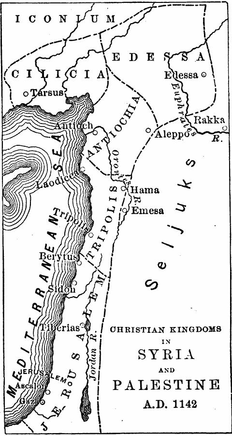
Description: A map of Palestine and the Mediterranean region of Syria at the end of the first Crusade, showing the Christian kingdoms or Crusader states established at the time. The map shows the boundaries of Cilicia and Edessa on the frontier with Iconium, and Antiochia, Tripolis, and Jerusalem to the west of the territory of the Seljuks. Major cities, trade centers, and ports are shown, including Tarsus, Edessa, Antioch, Aleppo, Rakka, Laodicea, Hama, Emesa, Tripolis, Berytus, Sidon, Tiberias, Ascalon, Gaza, and Jerusalem.
Place Names: Southwest Asia, Palestine, �Syria, �Jerusalem, �Tripoli
ISO Topic Categories: boundaries,
inlandWaters,
location,
oceans
Keywords: Christian Kingdoms in Syria and Palestine, physical, �political, physical features, major political subdivisions, boundaries,
inlandWaters,
location,
oceans, Unknown, 1142
Source: John J. Anderson, Ph.D., A School History of England (New York, NY: Effingham Maynard and Co., 1889) 103
Map Credit: Courtesy the private collection of Roy Winkelman |
|