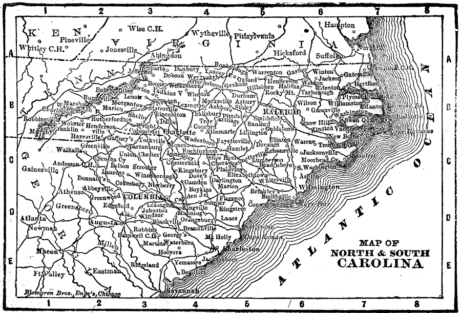
Description: A map from 1898 of North and South Carolina. "North Carolina, one of the thirteen original States. Called ‘Old North State,’ ‘Fur State,’ and ‘State of Turpentine.’ Discovered by Lord Raleigh, 1584. Settled by English, 1650. State seceded May 21, 1861. State re–entered Union June, 1868. — South Carolina, named in honor of Charles II of England, by whom the province was created in 1663. First state to secede, November, 1860. Re–entered the Union June, 1868. One of thirteen original States, Palmetto State." — Edison, 1898.
Place Names: South Atlantic States, Columbia, �Charleston, �Camden, �Spartanburg, �Charlotte, �Raleigh, �Wilmington, �Washington, �Beaufort, �Greensboro, �Shelb
ISO Topic Categories: boundaries,
location,
inlandWaters,
oceans
Keywords: North and South Carolina, physical, physical features, boundaries,
location,
inlandWaters,
oceans, Unknown, 1898
Source: Thomas F. Edison, Edison's Handy Encyclopaedia of General Information and Universal Atlas (Chicago, IL: Laird and Lee, 1898) 488
Map Credit: Courtesy the private collection of Roy Winkelman |
|