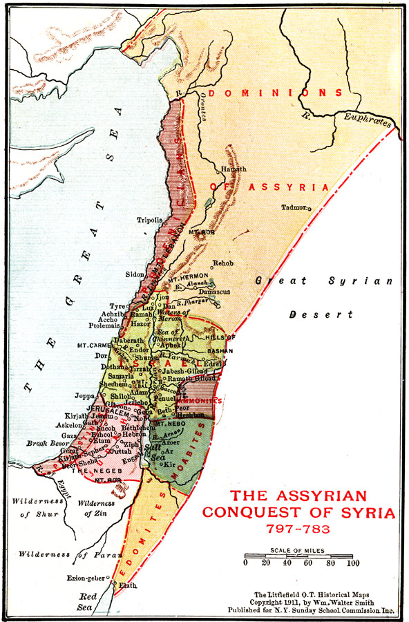
Description: A map of the regions of Palestine after Assyria's conquest of Syria (797–783 BC), showing principal cities, mountains, rivers, and the dominions of Assyria, Phoenicians, Israel, Judah, Edomites, and Philistines.
Place Names: A Regional Map of Asia, Dominions of Assyria, �Israel, �Judah, �Jerusalem, �Gaza, �Tyre, �Salt Sea, �Dead Sea, �Great Sea, �Mediterranean Sea
ISO Topic Categories: boundaries,
inlandWaters,
location
Keywords: Palestine during the Assyrian Conquest of Syria, physical, �political, physical features, country borders, boundaries,
inlandWaters,
location, Unknown, 797–783 BC
Source: William Walter Smith, The Students' Illustrated Historical Geography of the Holy Land (Philadelphia, PA: The Sunday School Times Company, 1911) 65
Map Credit: Courtesy the private collection of Roy Winkelman |
|