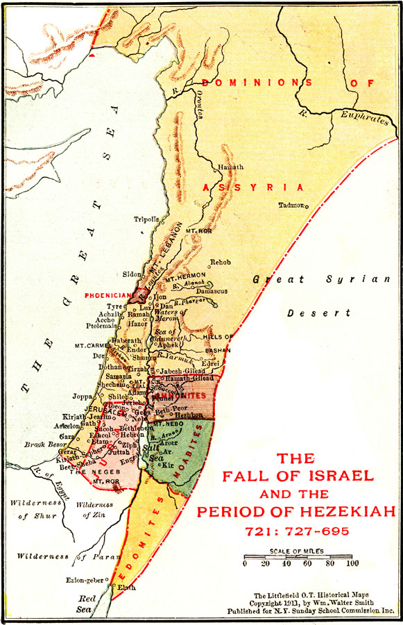
Description: A map of the regions of Palestine after the fall of Israel (721 BC) and the reign of Hezekiah, king of Judah (727–695 BC) showing principal cities, mountains, rivers, and the dominions of Assyria, Phoenicians, Ammonites, Judah, Moabites, and Edomites.
Place Names: A Regional Map of Asia, Great Sea, �Mediterranean Sea, �Dominions of Assyria, �Judah, �Tyre, �Jerusalem, �Gaza, �Salt Sea, �Dead Sea, �Mt. Lebanon,
ISO Topic Categories: boundaries,
inlandWaters,
location
Keywords: Palestine during the Fall of Israel and the Period of Hezekiah, physical, �political, physical features, country borders, boundaries,
inlandWaters,
location, Unknown, 727–695 BCE
Source: William Walter Smith, The Students' Illustrated Historical Geography of the Holy Land (Philadelphia, PA: The Sunday School Times Company, 1911) 65
Map Credit: Courtesy the private collection of Roy Winkelman |
|