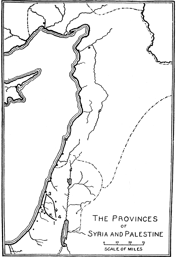
Description: A sketch map showing the route of St. Peter's journey in the provinces of Syria and Palestine.
Place Names: A Regional Map of Asia, Syria, �Palestine, �Mediterranean Sea, �Dead Sea, �Joppa, �Jerusalem,
ISO Topic Categories: inlandWaters,
location
Keywords: St. Peter's Journey in the Provinces of Syria and Palestine, physical, �political, physical features, country borders, inlandWaters,
location, Unknown, AD 66
Source: William Walter Smith, The Students' Illustrated Historical Geography of the Holy Land (Philadelphia, PA: The Sunday School Times Company, 1911) 65
Map Credit: Courtesy the private collection of Roy Winkelman |
|