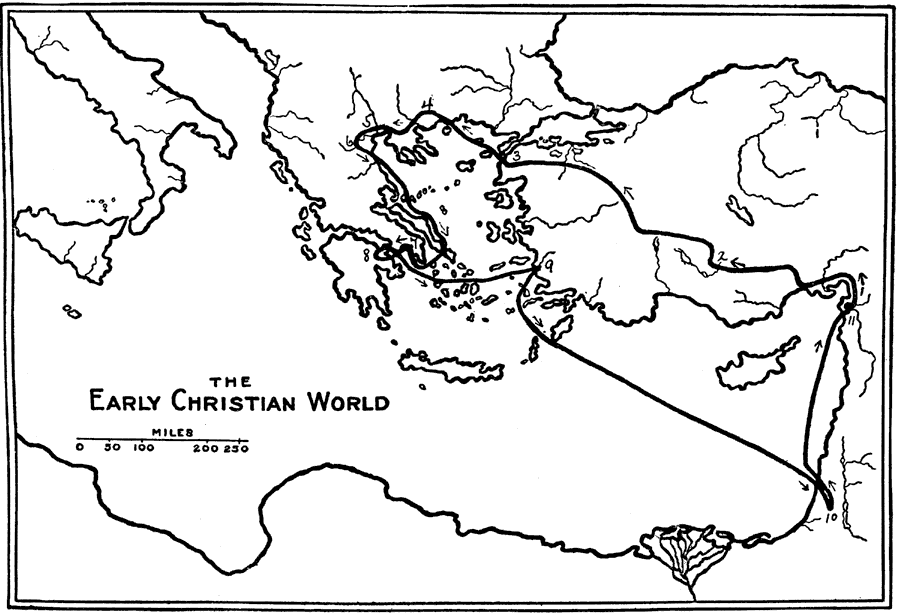
Description: A sketch map showing the route of St. Paul's second missionary journey. An outline of "the early Christian world." — Smith, 1911.
Place Names: A Regional Map of Asia, Mediterranean Sea, �Greece, �Italy, �Jerusalem, �Athens,
ISO Topic Categories: location,
inlandWaters
Keywords: St. Paul's Second Missionary Journey, physical, physical features, location,
inlandWaters, Unknown, AD 49–51
Source: William Walter Smith, The Students' Illustrated Historical Geography of the Holy Land (Philadelphia, PA: The Sunday School Times Company, 1911) 65
Map Credit: Courtesy the private collection of Roy Winkelman |
|