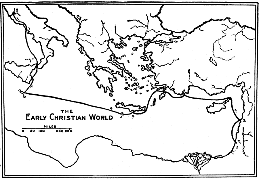
Description: A sketch map of the Roman Empire illustrating the journeys of the Apostle Paul. Based on recent explorations of Ramsay, Sterrett and others.— Smith, 1911.
Place Names: A Regional Map of Asia, Italy, �Sicily, �Greece, �Macedonia, �Moesia, �Thrace, �Lydia, �Libya, �Egypt, �Syria, �Euxine Sea, �Black Sea, �Adriatic Sea, �Ionian Sea, �Adria, �Mediterranean Sea, �Great Sea, �Crete, �Cyprus, �Bithynia, �Pontus, �Mysia, �Galatia, �Aegean Sea, �Ach
ISO Topic Categories: location,
inlandWaters,
boundaries
Keywords: Roman Empire with St. Paul's Journeys, physical, �political, physical features, country borders, location,
inlandWaters,
boundaries, Unknown, AD 46–67
Source: William Walter Smith, The Students' Illustrated Historical Geography of the Holy Land (Philadelphia, PA: The Sunday School Times Company, 1911) 65
Map Credit: Courtesy the private collection of Roy Winkelman |
|