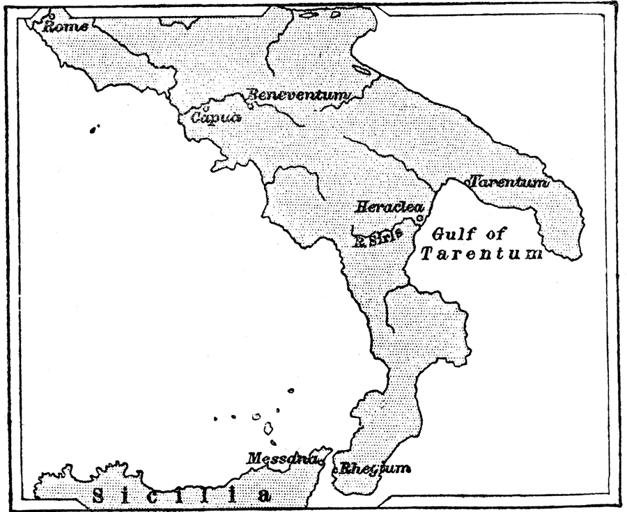
Description: Map showing Rome and the southern Greek cities of Capua, Tarentum, Heraclea, Beneventum, Messana (Messina), and Rhegium (Reggio Calabria). After defeating Pyrrus, King of Epirus (Greece), "Rome had no difficulty in taking all south Italy. And now Rome ruled all south of a line drawn between the little river Macra on the west coast, and the Rubicon on the east coast." — Creighton, 1890
Place Names: Italy, Rome, �Capua, �Tarentum, �Heraclea, �River Siris, �Beneventum, �Messana, �Messina, �Rhegium, �Reggio Calabria,
ISO Topic Categories: inlandWaters,
society
Keywords: Rome and South Italy, physical, �historical, kRomanEmpire, physical features, inlandWaters,
society, Unknown, 282 BC
Source: M. Creighton, History of Rome (New York, NY: D. Appleton and Company, 1890) 31
Map Credit: Courtesy the private collection of Roy Winkelman |
|