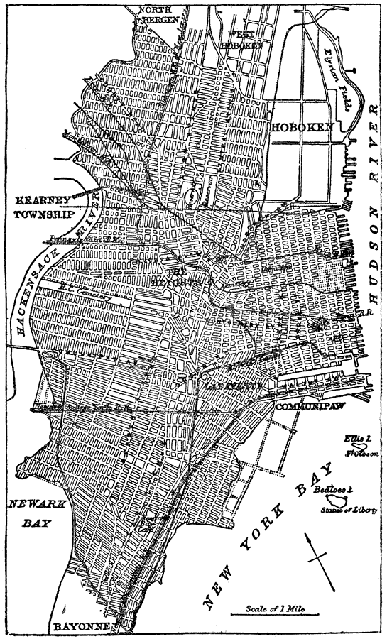
Description: Plan for city of Jersey City, New Jersey.
Place Names: New Jersey, Bayonne, �Bergen, �Communipaw, �Hackensack, �Hoboken, �Jersey City, �Lafayett
ISO Topic Categories: oceans,
location,
inlandWaters
Keywords: Plan of Jersey City, physical, �political, �transportation, county borders, roads,
water routes, oceans,
location,
inlandWaters, Unknown, 1903
Source: Spencer Baynes, LL.D., and W. Robertson Smith, LL.D., eds., The Encyclopedia Britannica vol. 13 (New York, NY: The Werner Company, 1903) 635
Map Credit: Courtesy the private collection of Roy Winkelman |
|