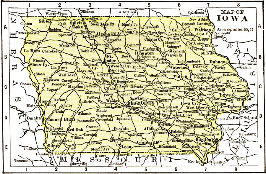
Description: A map from 1904 of Iowa showing the State capital of Des Moines, major cities and towns, railroads, and rivers. "Iowa (Hawkeye State) — The first white settlement was made in 1788. Admitted to the Union in 1846. Area, 66,025 square miles. Population, 2,267,000. Ranks fourth in miles of railway, seventh in wealth, and twenty–fifth in square miles. Primarily an agricultural State. Wholesale slaughtering and meat packing is the most important industry. Factory manufacture of butter, cheese, and condensed milk ranks second in importance; flour and grist milling holds the third place. An industry peculiar to Iowa is the manufacture of pearl buttons. Salary of Governor, $3,000." — Wark 1904.
Place Names: Iowa, Iowa City, �Sioux City, �Mason, �Des Moines, �Clinto
ISO Topic Categories: society,
transportation
Keywords: Iowa, physical, �political, �transportation, physical features, major political subdivisions, railroads, society,
transportation, Unknown, 1904
Source: Henry Wark, ed., Wark's Modern Educator (New York, NY: Henry Wark, 1904) 876
Map Credit: Courtesy the private collection of Roy Winkelman |
|