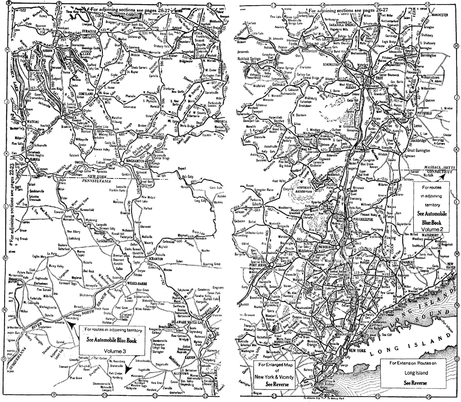
Description: Pennsylvania, New York and vicinity, showing roads.
Place Names: Middle Atlantic States, New York, �Pennsylvania, �Binghamton, �Syracuse, �Utica, �Wilkes-Barre, �Scranton, �Easton, �Albany, �Troy, �Albany, �Catskill, �Kingston, �New York City, �roads,
ISO Topic Categories: boundaries,
inlandWaters,
location,
transportation
Keywords: Road Map of Pennsylvania, New York, and Vicinity, physical, �political, �transportation, kAutomobile, physical features, major political subdivisions, roads, boundaries,
inlandWaters,
location,
transportation, Unknown,1920
Source: , Automobile Club of Rochester (New York, NY: The Automobile Club of Rochester, 1920) 20-21
Map Credit: Courtesy the private collection of Roy Winkelman |
|