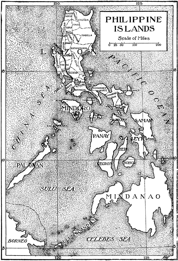
Description: An outline map from 1906 of the Philippine Islands, showing the major island names and surrounding seas. The map shows the provinces of the main island of Luzon at the time and the railway from Manila to Dagupan on the Lingayen Gulf.
Place Names: Philippines, China Sea, �Pacific Ocean, �Sulu Sea, �Celebes Sea, �Luzon, �Mindana
ISO Topic Categories: boundaries,
oceans,
transportation
Keywords: Philippine Islands, political, �transportation, country borders,
major political subdivisions, railroads, boundaries,
oceans,
transportation, Unknown, Circa 1906
Source: L. Brent Vaughn, Hill's Practical Reference Library of General Knowledge Volume III (New York, NY: Dixon, Hanson & Company, 1906)
Map Credit: Courtesy the private collection of Roy Winkelman |
|