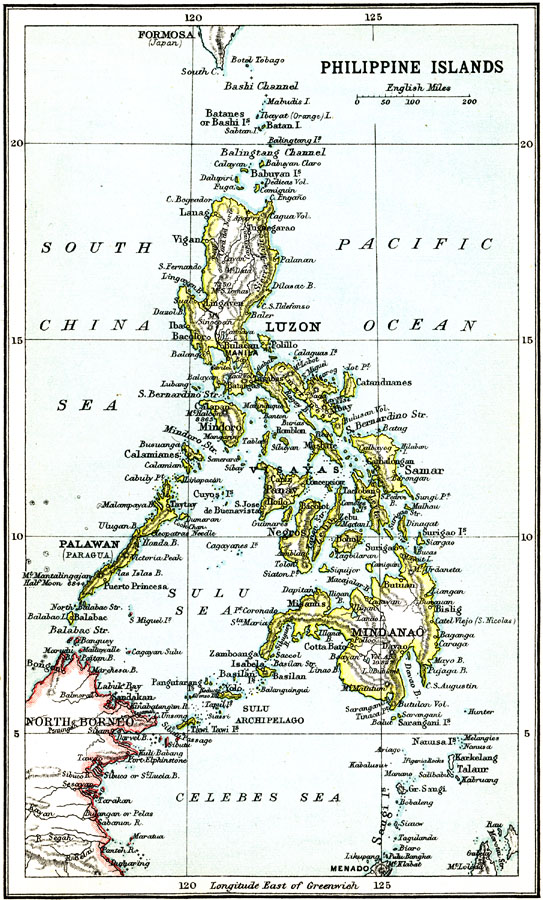
Description: A map from 1911 of the Philippine Islands, showing the major islands, cities, coastal features, and surrounding seas. The map shows the railway from Manila to Dagupan on the Lingayen Gulf (Luzon).
Place Names: Philippines, Manila, �Luzon, �Mindanao, �Mindoro, �Panay, �Samar, �Calapan, �Palawan, �Babuya
ISO Topic Categories: society
Keywords: Philippine Islands, political, �physical, physical features, country borders, society, Unknown, 1911
Source: Ernest Rhys, Ed., A Literary and Historical Atlas of North & South America (New York, NY: E.P. Dutton & CO., 1911) 75
Map Credit: Courtesy the private collection of Roy Winkelman |
|