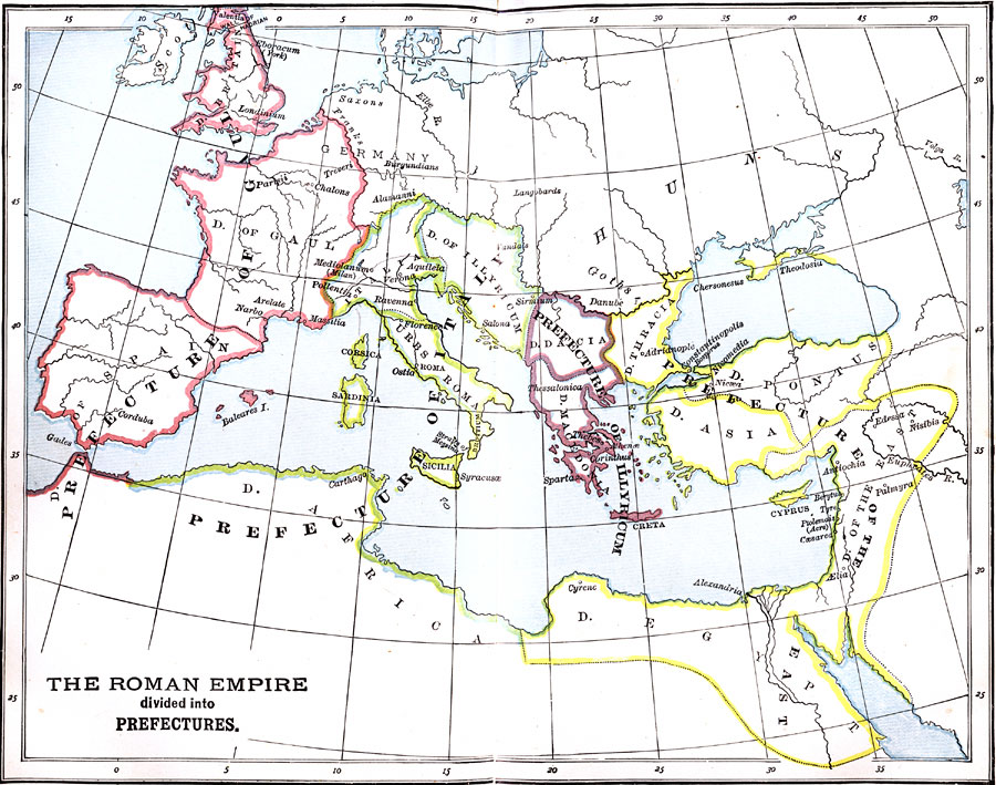
Description: A map of the Roman Empire divided into four prefectures: the Prefecture of Gaul, the Prefecture of Italy, the Prefecture of Illyricum, and the Prefecture of the East. The Roman Empire was divided into these prefectures during the reign of Diocletian.
Place Names: Regional Mediterranean, Africa, �Asia, �Europe, �Prefecture of Gaul, �Prefecture of Italy, �Prefecture of Illyricum, �Prefecture of the Eas
ISO Topic Categories: physical, �political, kWorldMedSea, kWorldAfroAsia, kWorldEurasia, kWorldEuroAfrica
Keywords: The Roman Empire divided into Prefectures, physical, �political, physical features, country borders,
major political subdivisions, physical, �political, kWorldMedSea, kWorldAfroAsia, kWorldEurasia, kWorldEuroAfrica, Unknown, Circa AD 290
Source: P. V. N. Myers, A General History for Colleges and High Schools (Boston, MA: Ginn & Company, 1896) 332
Map Credit: Courtesy the private collection of Roy Winkelman |
|