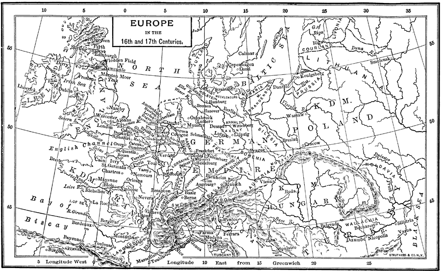
Description: A map of the central portion of Europe in the 16th and 17th centuries showing principal cities, political boundaries, mountain ranges, and waterways.
Place Names: Western and Central Europe, Germany, �France, �Poland, �Ireland, �Bay of Biscay, �North Sea, �Baltic Sea, �Hungary, �Turkey,
ISO Topic Categories: boundaries,
inlandWaters,
oceans
Keywords: Europe, physical, �political, �historical, physical features,
topographical, country borders, boundaries,
inlandWaters,
oceans, Unknown, 16th and 17th Centuries
Source: P. V. N. Myers, A General History for Colleges and High Schools (Boston, MA: Ginn & Company, 1896) 538
Map Credit: Courtesy the private collection of Roy Winkelman |
|