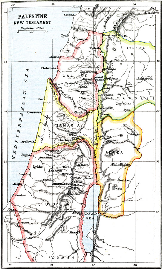
Description: A map of Palestine during the New Testament Era, approximately 37 BC (Herod) to AD 117 (Trajan). The map shows the divisions of the region south of Phoenicia, including Galilee, Decapolis (Iturea, Gaulanitis), Samaria, Peræa, and Judea. Biblically significant (New Testament) cities, rivers, mountains, and other sites in the region are shown.
Place Names: Palestine, Palestine, �Samaria, �Judea, �Perea, �Galile
ISO Topic Categories: society
Keywords: Palestine, historical, �political, major political subdivisions, society, Unknown, New Testament Era
Source: Ernest Rhys, Ed., A Literary and Historical Atlas of Asia (New York, NY: E.P. Dutton & CO., 1912) 13
Map Credit: Courtesy the private collection of Roy Winkelman |
|