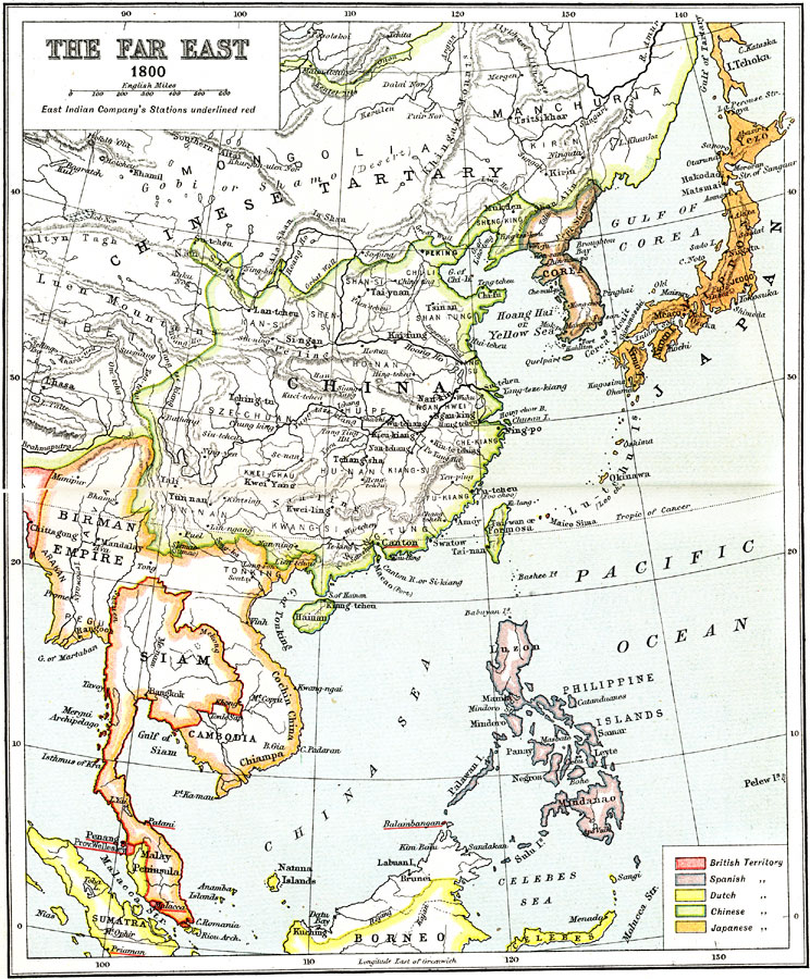
Description: A map of the Far East (Southeastern Asia) in 1800, showing political boundaries and foreign possessions in the region at the time. The map is color–coded to show the territories of the British, Spanish, Dutch, Chinese, and Japanese, with the British East India Company's Stations underlined in red. The map shows China proper and the Chinese Tartary (Tibet, Mongolia, and Manchuria), the Japanese Empire, the country of Corea, The extent of the Birman Empire (Burma, Ava, Arakan, Pegu, Tonking, Cochin China, Chiampa, and Cambodia), Siam (Thailand), the Philippine Islands under Spain, and portions of Sumatra, Borneo, and Celebes. The map shows major cities, ports, and trade centers, rivers, terrain and coastal features, and islands of the region.
Place Names: Eastern Asia, China, �Japan, �Philippines, �Korea, �Siam, �Cambodia, �Borne
ISO Topic Categories: society
Keywords: The Far East, physical, �political, �historical, physical features,
topographical, major political subdivisions, society, Unknown, 1800
Source: Ernest Rhys, Ed., A Literary and Historical Atlas of Asia (New York, NY: E.P. Dutton & CO., 1912) 22
Map Credit: Courtesy the private collection of Roy Winkelman |
|