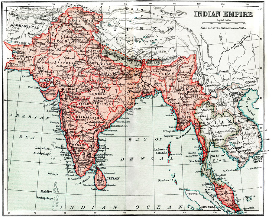
Description: A map from 1912 of the Indian Empire showing the political boundaries and provinces at the time. The map shows major cities, ports, railways, rivers, terrain and coastal features, and the native and protected states of Nepal, Bhutan, and Siam, and the French territories of Tonkin, Annam, Laos, Cambodia, and Cochin China. French and Portuguese possessions in India are indicated.
Place Names: Southern Asia, Indi
ISO Topic Categories: society
Keywords: Indian Empire, political, �physical, topographical,
physical features, major political subdivisions, society, Unknown, 1912
Source: Ernest Rhys, Ed., A Literary and Historical Atlas of Asia (New York, NY: E.P. Dutton & CO., 1912) 52
Map Credit: Courtesy the private collection of Roy Winkelman |
|