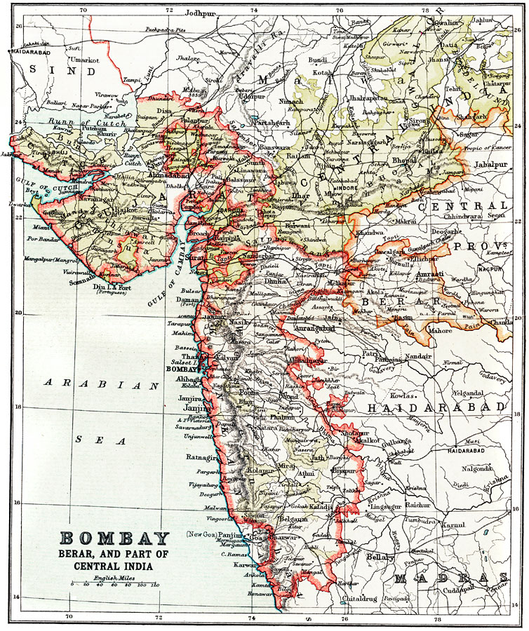
Description: A map from 1912 of the west–central coast of India, showing the British provinces of Bombay (Mumbai), Berar, Gujarat, and part of the Central India Provinces at the time. The map shows provincial capitals, major cities, ports, railways, rivers, and coastal features along the Arabian Sea.
Place Names: India , Mumbai, �Bombay, �Berar, �Janjira, �Panji
ISO Topic Categories: society
Keywords: Bombay, Berar, and part of Central India, physical, �political, physical features, major political subdivisions, society, Unknown, 1912
Source: Ernest Rhys, Ed., A Literary and Historical Atlas of Asia (New York, NY: E.P. Dutton & CO., 1912) 56
Map Credit: Courtesy the private collection of Roy Winkelman |
|