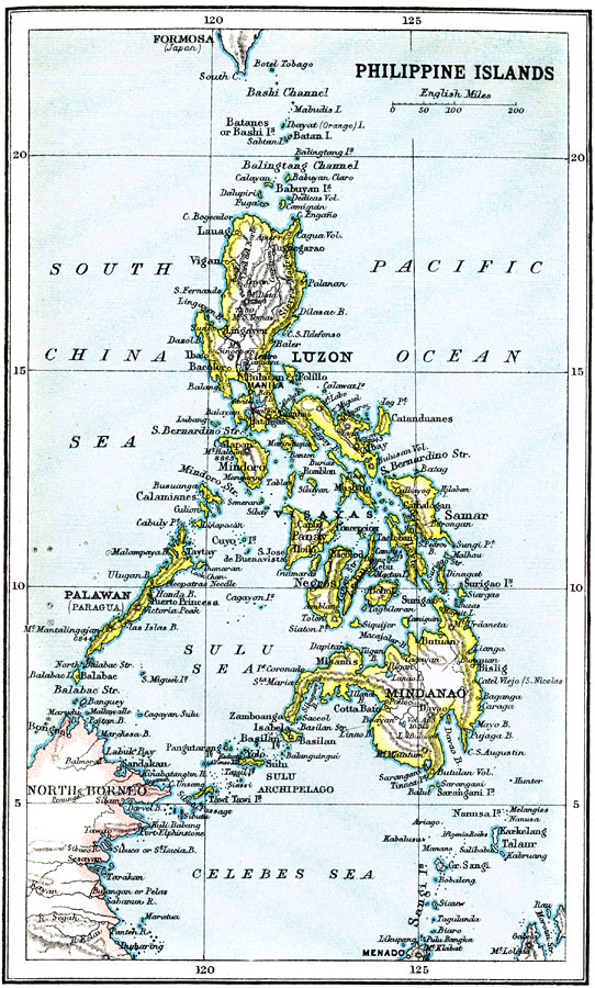
Description: A map from 1912 of the Philippine Islands, showing the major islands, cities, coastal features, and surrounding seas. The map shows the railways on Luzon at the time, including the route from Manila to Lingayen in the north, and from Manila to Batangus and Tayabas in the south. This map illustrates the many islands that make up the Philippine Islands. The Philippine Islands are comprised of more than 7,000 islands and are located in the Malay archipelago of Southeast Asia.
Place Names: Philippines,
ISO Topic Categories: society
Keywords: Philippine Islands, political, �physical, physical features,
topographical, country borders, society, Unknown, 1912
Source: Ernest Rhys, Ed., A Literary and Historical Atlas of Asia (New York, NY: E.P. Dutton & CO., 1912) 77
Map Credit: Courtesy the private collection of Roy Winkelman |
|