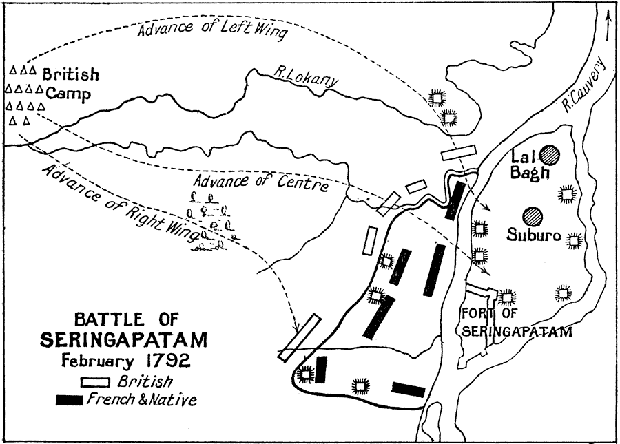
Description: A sketch map of the Battle of Seringapatam (Srirangapattana). There is some confusion with the map in that it indicates the date of February 1792, which was the Siege of Seringapatam that ended the Third Anglo–Mysore War (1789–1792), and not the ‘Battle of Seringapatam’ fought on 4 May 1799 between the Mysore Army under Tipu Sultan and the British East India Company forces under General George Harris during the Fourth Anglo–Mysore War (1798–1799).
Place Names: India , Seringapata
ISO Topic Categories:
Keywords: Battle of Seringapatam, historical, kBattle, other military, Unknown, 1792
Source: Ernest Rhys, Ed., A Literary and Historical Atlas of Asia (New York, NY: E.P. Dutton & CO., 1912) 130
Map Credit: Courtesy the private collection of Roy Winkelman |
|