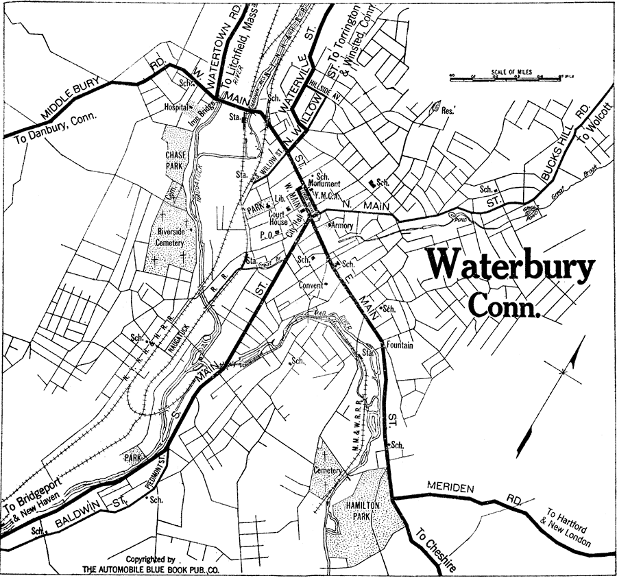
Description: A road map of the vicinity of Waterbury Connecticut from the 1920 Automobile Club of Rochester, showing the Naugatuck River bridges, major roads, railroads and stations, cemeteries, parks, and major landmarks of the area.
Place Names: Connecticut, Waterbury, �Mad River, �Naugatuck River,
ISO Topic Categories: inlandWaters,
location,
transportation
Keywords: Waterbury, Connecticut, physical, �transportation, kAutomobile, physical features, roads,
railroads, inlandWaters,
location,
transportation, Unknown,1920
Source: , Automobile Club of Rochester (New York, NY: The Automobile Club of Rochester, 1920) 117
Map Credit: Courtesy the private collection of Roy Winkelman |
|