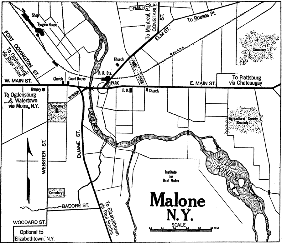
Description: A road map of Malone, New York, from the 1920 Automobile Club of Rochester, showing the Hudson River and Rondout Creek, principal roads, railroads and stations, ferry route, parks, cemeteries, and major landmarks.
Place Names: New York, Malone, �Mill Pond, �Salmon River,
ISO Topic Categories: location,
inlandWaters,
structure,
transportation
Keywords: Malone, New York, physical, �transportation, kAutomobile, physical features, roads,
railroads, location,
inlandWaters,
structure,
transportation, Unknown,1920
Source: , Automobile Club of Rochester (New York, NY: The Automobile Club of Rochester, 1920) 530
Map Credit: Courtesy the private collection of Roy Winkelman |
|