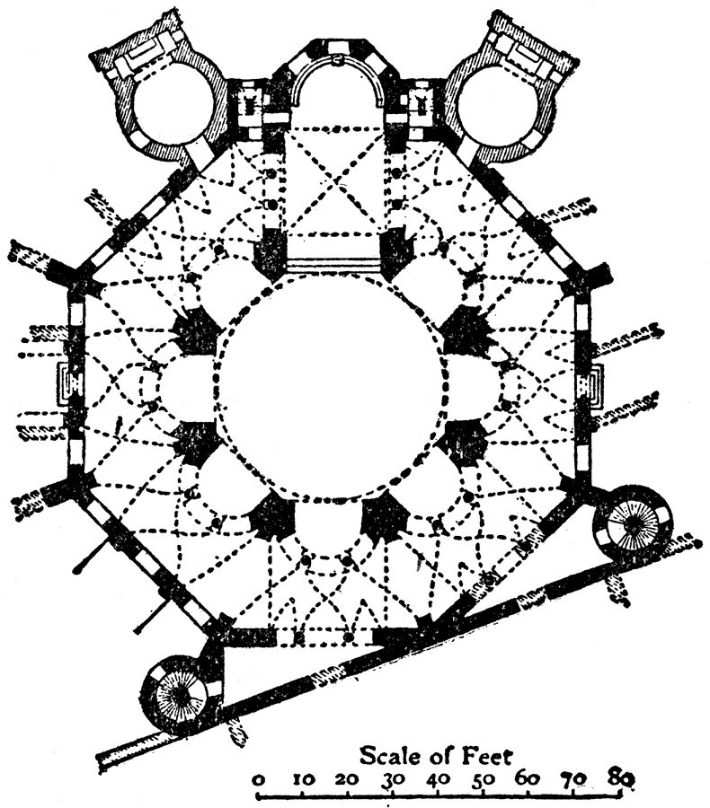
Description: This is a plan of the San Vitale in Ravenna, Italy. It was built from 539 to 547 AD. This is an example of Early Christian architecture. The scale is in feet.
Place Names: Italy, Plan of San Vitale, Ravenna,
ISO Topic Categories: structure
Keywords: Plan of San Vitale, Ravenna, historical, �architecture, kArchitecture, structure, Unknown, AD 539–547
Source: , The Enctclopædia Britannica a Dictionary of Arts, Sciences, Literature and General Information Eleventh Edition Volume II Andros to Austria (New York, NY: The Encyclopædia Britannica Company, 1910) 389
Map Credit: Courtesy the private collection of Roy Winkelman |
|