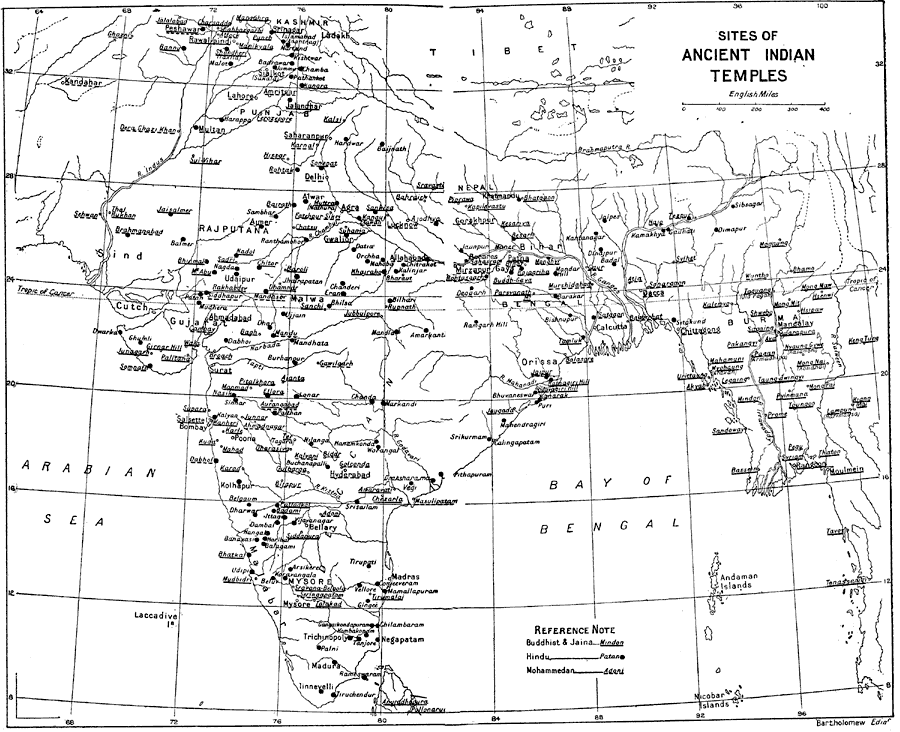
Description: A map from 1912 of British India showing ancient Indian temples sites in the region. The map coverage extends from Kandahar (Afghanistan) and Kashmir in the west to Keng Tung and Rangoon (Myanmar) in the east, and from the Himalaya Mountains south to Pollonarua, Ceylon (Sri Lanka). The sites are referenced to indicate whether the temple is Buddhist or Jaina , Hindu, or Mohammedan.
Place Names: India , Calcutta, �Bombay, �Kashmir, �Mandalay, �Mysore, �Cutch, �Guj
ISO Topic Categories: society
Keywords: Sites of Ancient Indian Temples, historical, society, Unknown, 1912
Source: Ernest Rhys, Ed., A Literary and Historical Atlas of Asia (New York, NY: E.P. Dutton & CO., 1912) 136
Map Credit: Courtesy the private collection of Roy Winkelman |
|