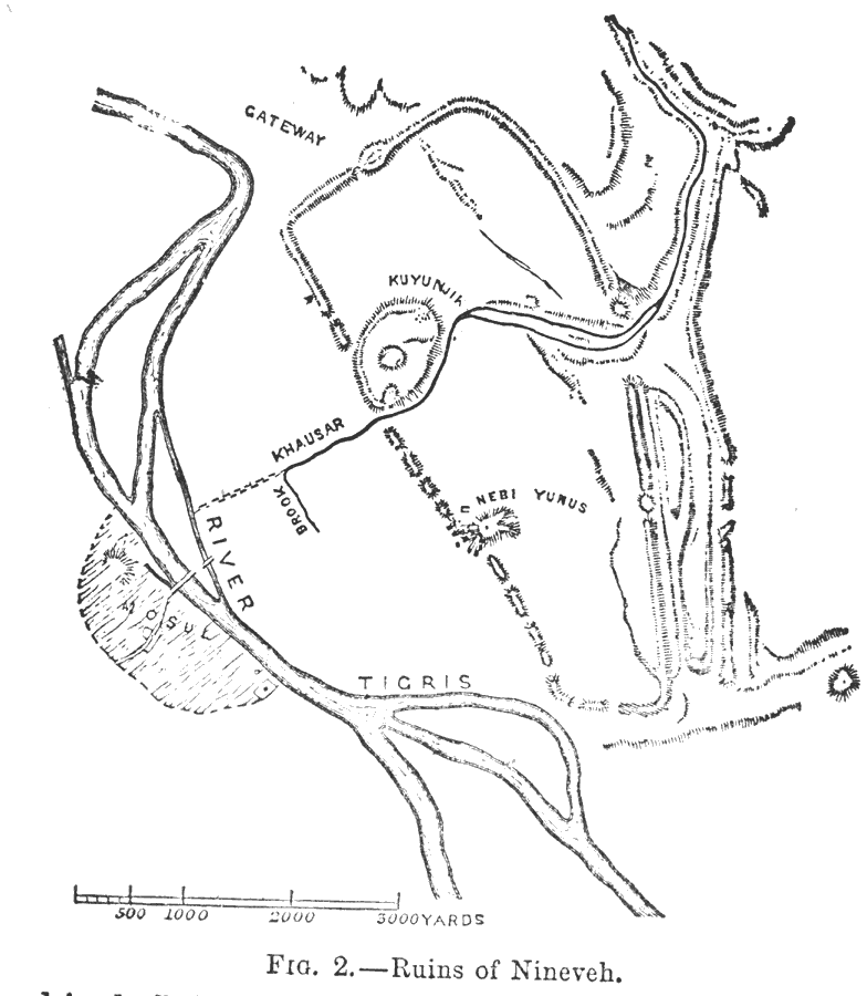
Description: A map showing the ruins of the ancient Assyrian capital of Nineveh near Mosul, Iraq. The map shows the location of the mound ruins of Kuyunjik and Nebi Yunus, the remnants of the city walls and gateway, and the course of the Khausar (Khors) river that ran through the city.
Place Names: Iraq, Nineveh, �River Tigris, �Tigris River, �Mosu
ISO Topic Categories: society,
structure,
inlandWaters
Keywords: Ruins of Nineveh, physical, �historical, physical features, society,
structure,
inlandWaters, Unknown,1800–612 BCE
Source: Day Otis Kellogg, Encyclopædia Britannica Vol. XVII (New York, NY: Werner Company, 1903) 512
Map Credit: Courtesy the private collection of Roy Winkelman |
|