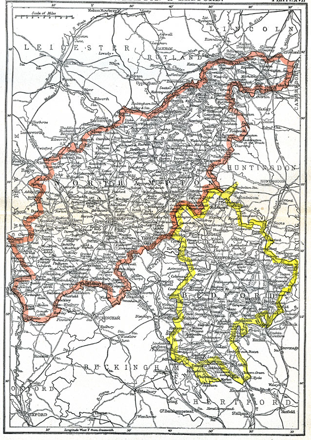
Description: A map of the central English counties of Northampton and Bedford in 1903. The map shows cities, the transportation network, and mountain ranges. "Northampton, an inland county of England, is bounded N. by Lincoln, N.W. by Rutland and Leicester, W. by Warwick, S.W. and S. by Oxford, S.E. by Buckingham, and E. by Bedford, Huntingdon, and Cambridge. It has an area of 629,912 acres, or about 982 square miles. Its greatest length from north–east to south–west is about 70 miles; in breadth it varies from 7 to 26 miles." —Kellogg, 1903
Place Names: United Kingdom, Northampton, �Bedford, �England,
ISO Topic Categories: transportation,
inlandWaters,
boundaries
Keywords: Northampton and Bedford, physical, �political, �transportation, physical features,
topographical, county borders, roads,
railroads, transportation,
inlandWaters,
boundaries, Unknown,1903
Source: Day Otis Kellogg, Encyclopædia Britannica Vol. XVII (New York, NY: Werner Company, 1903) 556
Map Credit: Courtesy the private collection of Roy Winkelman |
|