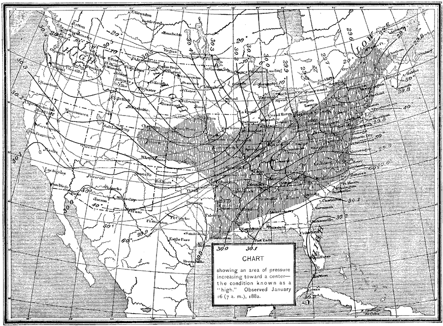
Description: A map from 1891 showing the typical weather conditions caused by a high pressure area centered over the Dakotas and Montana observed January 16, 1882.
Place Names: Meteorology, Boston, �Chicago, �Houston, �Los Angeles, �Miami, �New Orleans, �New York, �San Diego, �Seattle, �Washington D.C
ISO Topic Categories: climatologyMeteorologyAtmosphere,
inlandWaters,
boundaries
Keywords: High Pressure Center, physical, �political, �meteorological, �barometric pressure, �atmospheric pressure, kClimate, physical features, country borders,
major political subdivisions, climate, climatologyMeteorologyAtmosphere,
inlandWaters,
boundaries, Unknown,January 16, 1882
Source: , Report of the Secretary of Agriculturre - 1891 (Washington, DC: Government Printing Office, 1892) 550
Map Credit: Courtesy the private collection of Roy Winkelman |
|