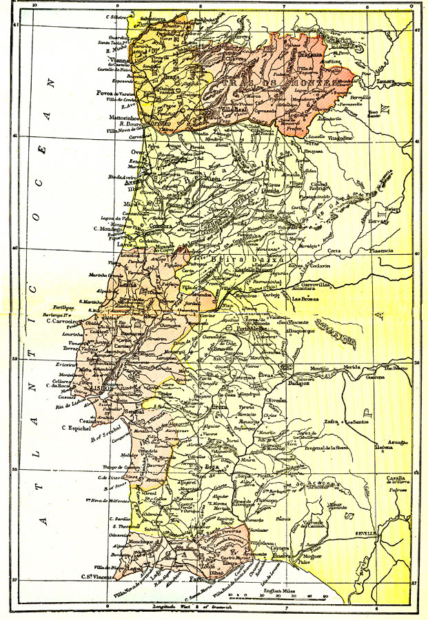
Description: A general map of Portugal in 1903 showing its political subdivisions, major cities, towns, and ports, railroads, rivers, coastline, and terrain.
Place Names: Portugal, Aveiro, �Barreiro, �Beja, �Braga, �Coimbra, �Covilha, �Faro, �Lisbon, �Portalegre, �Setuba
ISO Topic Categories: boundaries,
inlandWaters
Keywords: Portugal, physical, �political, physical features, major political subdivisions, boundaries,
inlandWaters, Unknown,1903
Source: Day Otis Kellogg, D.D., Encyclopedia Britannica Vol. XIX (New York, NY: The Werner Company, 1903) 536
Map Credit: Courtesy the private collection of Roy Winkelman |
|