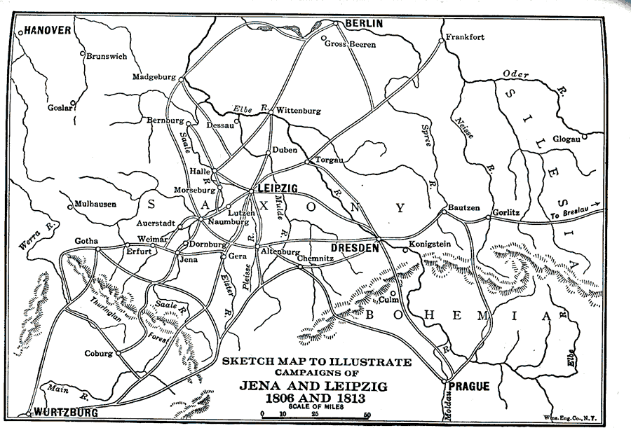
Description: A map of the Leipzig–Dresden region of Germany, showing the area of the Jena and Leipzig battle sites during the Napoleonic campaigns of 1806 and 1813. One of the most decisive defeats for Napoleon occurred at Leipzig in 1813 after the failed Russian Campaigns. The map shows important cities (Hanover, Berlin, Jena, Leipzig, Dresden, Wurtzburg, and Prague), roads, rivers, and terrain of the region.
Place Names: Germany, Dresden, �Hannover, �Leipzig, �Bautzen, �Duben, �Jena, �Dornburg, �Lutzen, �Erfurt, �Gera, �Gotha, �Altenbur
ISO Topic Categories: society
Keywords: Sketch Map of Jena and Leipzig, physical, �historical, kNapoleonicWars, physical features,
topographical, other military,
historical event, society, Unknown,1806 and 1813
Source: Lucius Hudson Holt, A Brief History of Europe From 1789 to 1815 (New York, NY: The MacMillan Company, 1920) 304
Map Credit: Courtesy the private collection of Roy Winkelman |
|