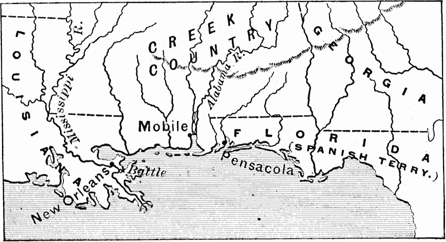
Description: A map of the area around the Mississippi Delta and western Florida showing the battle site near New Orleans during the War of 1812. Although no territory was gained after the war, conditions were set in place for the cession of Florida and the disputed southern territories of Mississippi and Alabama. The map shows the Creek Country, and the ports of Mobile and Pensacola.
Place Names: Growth of Nation, New Orleans, �Mobile, �Pensacola, �War of 181
ISO Topic Categories: location,
inlandWaters,
oceans,
intelligenceMilitary,
boundaries
Keywords: Battle of New Orleans, physical, �political, �historical, �war of 1812, physical features, major political subdivisions,
country borders, other military, location,
inlandWaters,
oceans,
intelligenceMilitary,
boundaries, Unknown, January 8, 1815
Source: Edward Eggleston, The Household History of the United States and Its People (New York, NY: D. Appleton and Company, 1898) 262
Map Credit: Courtesy the private collection of Roy Winkelman |
|