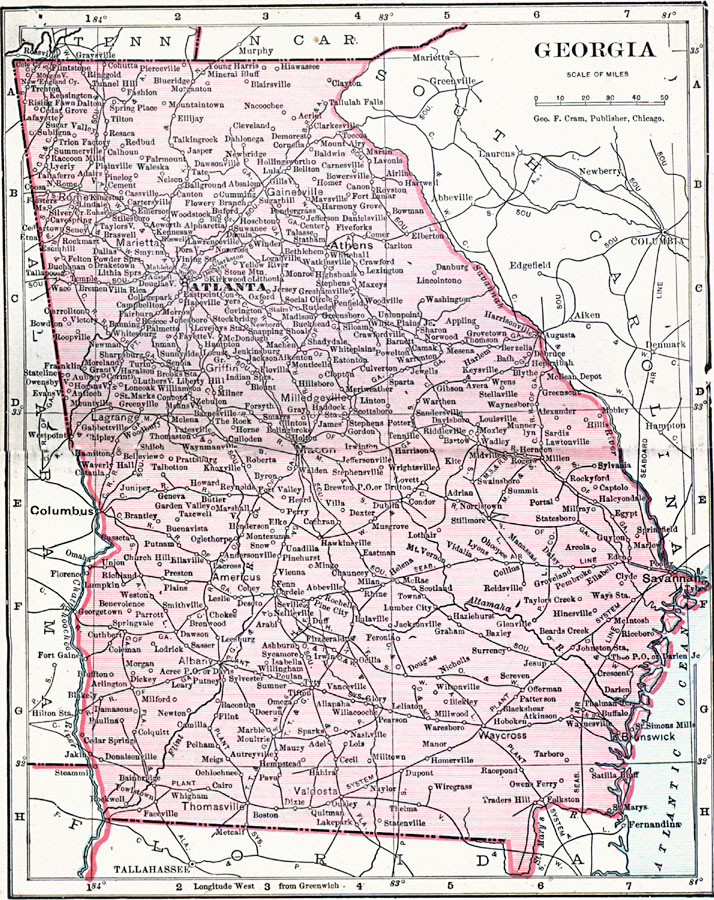
Description: A map from 1906 of Georgia showing the State capital of Atlanta, major cities and towns, railroads, lakes, rivers, and the Atlantic coastline.
Place Names: Georgia, Athens, �Atlanta, �Augusta, �Batumi, �Clayton, �Columbus, �Ft. Gains, �Gori, �Kutaisi, �Macon, �Milledgeville, �Poti, �Rome, �Rustavi, �Savannah, �Sokhumi, �Supsa, �Tbilisi, �Tskhinvali, �Zugdid
ISO Topic Categories: boundaries,
inlandWaters,
location,
oceans
Keywords: Georgia, physical, �political, �borders, �boundaries, �physical features, country borders, boundaries,
inlandWaters,
location,
oceans, Unknown, 1906
Source: George F. Cram , Cram's Quick Reference Atlas and Gazetteer of the World (Chicago , IL: George F. Cram Series of Atlases, 1906) 31
Map Credit: Courtesy the private collection of Roy Winkelman |
|