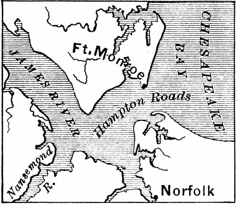
Description: A map of Ft. Monroe and Norfolk, as well as Hampton Roads, where the Monitor and the Merrimac fought.
Place Names: Virginia, Norfolk, �Ft. Monro
ISO Topic Categories: inlandWaters,
location,
oceans
Keywords: Ft. Monroe and Norfolk, physical, �historical, �political, physical features, local jurisdictions, Civil War, inlandWaters,
location,
oceans, Unknown, 1862–1863
Source: Edward Eggleston, The Household History of the United States and Its People (New York, NY: D. Appleton and Company, 1898) 324
Map Credit: Courtesy the private collection of Roy Winkelman |
|