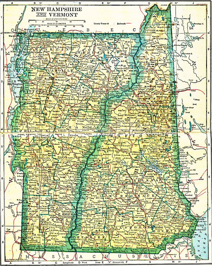
Description: The states of New Hampshire and Vermont, and their counties.
Place Names: New England States, Montpelier, �Berlin, �Nashua, �Concord, �Franklin, �Rutland, �New Hampshire, �Vermont, �New Englan
ISO Topic Categories: boundaries,
location,
inlandWaters,
transportation
Keywords: New Hampshire and Vermont, physical, �political, �transportation, physical features, major political subdivisions,
county borders, railroads, boundaries,
location,
inlandWaters,
transportation, Unknown, 1920
Source: John C. Winston, Winston's New and Complete Atlas of the World (New York, NY: The John C. Winston Company, 1920) 82
Map Credit: Courtesy the private collection of Roy Winkelman |
|