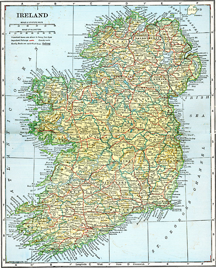
Description: A map showing Ireland as it was in 1920.
Place Names: Ireland, Cork, �Dublin, �Limerick, �Monaghan, �Foynes, �Galway, �Killarney, �Shannon, �Sligo, �Queenstow
ISO Topic Categories: boundaries,
transportation,
location,
inlandWaters,
oceans
Keywords: Ireland, physical, �transportation, �political, physical features, county borders, water routes,
railroads, boundaries,
transportation,
location,
inlandWaters,
oceans, Unknown, 1920
Source: John C. Winston, Winston's New and Complete Atlas of the World (New York, NY: The John C. Winston Company, 1920) 148
Map Credit: Courtesy the private collection of Roy Winkelman |
|