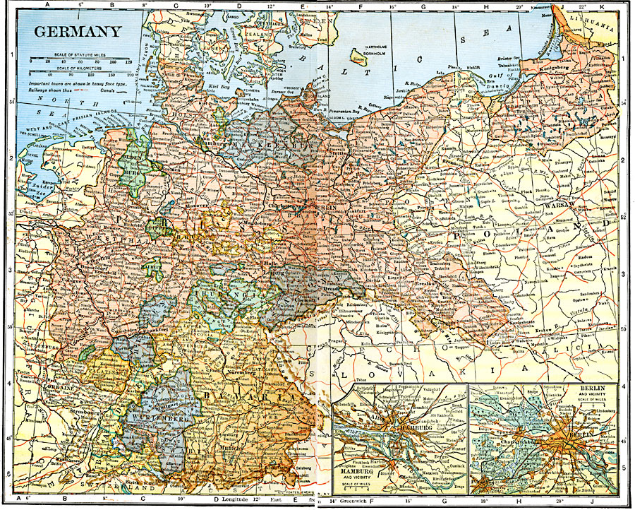
Description: A map showing Germany as it was in 1920.
Place Names: Germany, Berlin, �Frankfurt am Main, �Hamburg, �Bremen, �Cologne, �Dresden, �Nuremberg, �Hannover, �Wiesbaden, �Mannheim, �Munic
ISO Topic Categories: boundaries,
inlandWaters,
location,
oceans,
transportation
Keywords: Germany, physical, �political, �transportation, physical features, country borders, railroads,
water routes, boundaries,
inlandWaters,
location,
oceans,
transportation, Unknown, 1920
Source: John C. Winston, Winston's New and Complete Atlas of the World (New York, NY: The John C. Winston Company, 1920) 164
Map Credit: Courtesy the private collection of Roy Winkelman |
|