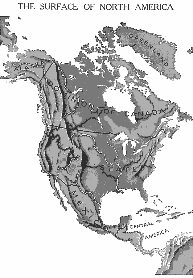
Description: A base relief map from 1912 of North America, Central America, Greenland, and the Caribbean to Puerto Rico showing the general surface terrain, including mountain systems, highlands, plains, and major river systems of the region. Political boundaries for the Dominion of Canada, United States, and Mexico are shown.
Place Names: A Complete Map of North America, United States, �Mexico, �Cuba, �Canada, �Bahamas, �Greenlan
ISO Topic Categories: boundaries,
oceans,
inlandWaters,
location
Keywords: The Surface of North America, physical, �political, kRelief, physical features, country borders, boundaries,
oceans,
inlandWaters,
location, Unknown, 1912
Source: Arthur Mee and Holland Thompson, Ph.D., The Book of Knowledge Vol 1 (New York, NY: The Grolier Society, 1912) 8
Map Credit: Courtesy the private collection of Roy Winkelman |
|