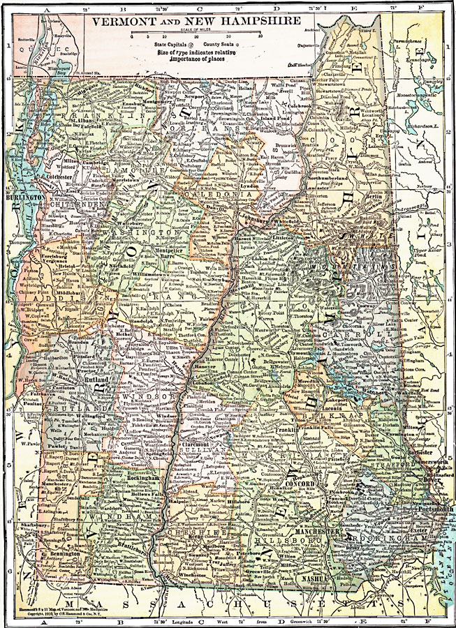
Description: The states of Vermont and New Hampshire.
Place Names: New England States, Vermont, �New Hampshire, �Highgate, �St. Albans, �Fairfield, �Milton, �Cambridge, �Colchester, �Essex, �Ferrisburg, �Vergennes, �Bristol, �Middlebury, �Brandon, �Pittsford, �Proctor, �Rutland, �Castleton, �Fairhaven, �Pawlet, �Manchester, �Shaftsbury,
ISO Topic Categories: boundaries,
inlandWaters,
location,
oceans
Keywords: Vermont and New Hampshire, physical, �political, physical features, country borders,
major political subdivisions,
county borders, boundaries,
inlandWaters,
location,
oceans, Unknown, 1920
Source: , Leslie's New World Atlas (New York City, NY: Leslie-Judge Company, 1920) 41
Map Credit: Courtesy the private collection of Roy Winkelman |
|