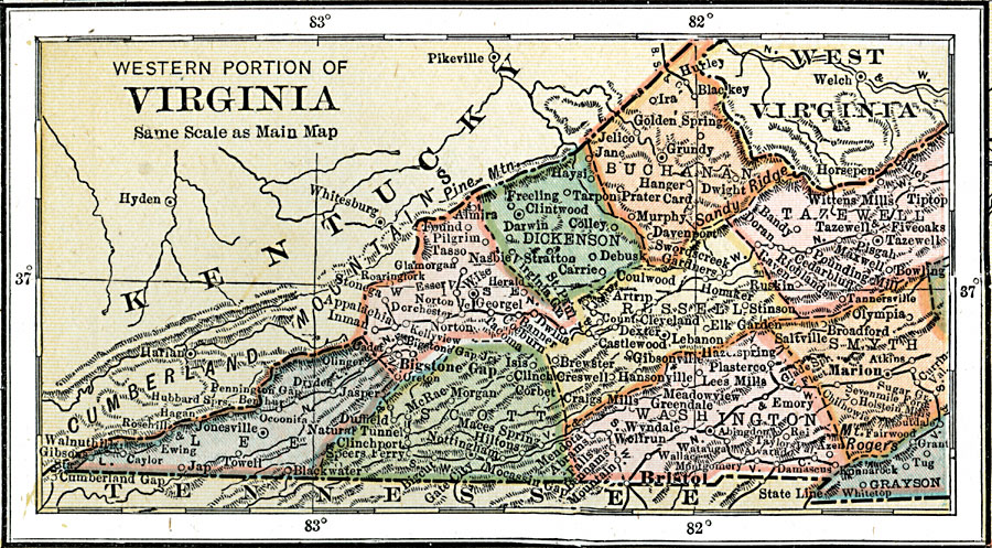
Description: A map from 1920 of the western portion of Virginia, showing counties and county seats, towns, cities, and railways.
Place Names: Virginia, Jonesville, �Bigstone Gap, �Darwin, �Bristol, �Marion, �Grundy, �Jelico, �Jane, �Tiptop, �Tazewel
ISO Topic Categories: boundaries,
inlandWaters,
location,
transportation
Keywords: Western Part of Virginia, physical, �political, �transportation, physical features, county borders,
major political subdivisions, railroads, boundaries,
inlandWaters,
location,
transportation, Unknown, 1920
Source: , Leslie's New World Atlas (New York City, NY: Leslie-Judge Company, 1920) 51
Map Credit: Courtesy the private collection of Roy Winkelman |
|