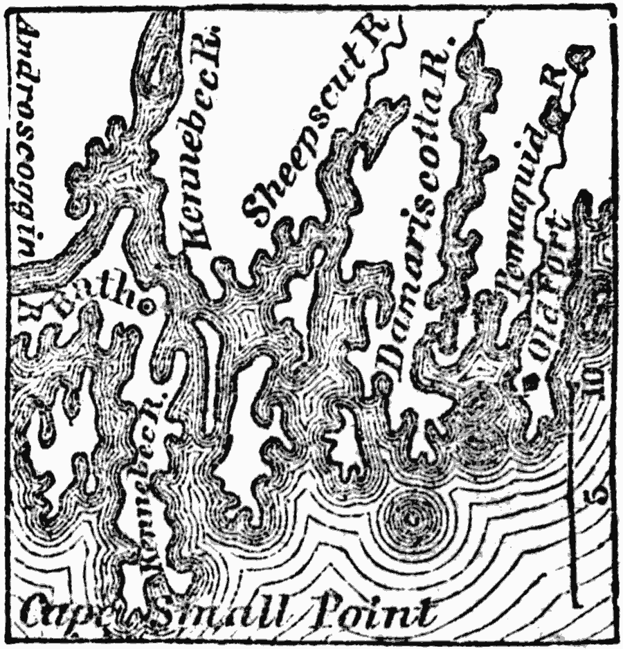
Description: Casco Bay is on the coast of Maine, southwest from the mouth of the Kennebec River. It sets up between Cape Elizabeth on the southwest and Cape Small Point on the northeast, twenty miles apart, and contains 300 small islands, mostly small, but generally very productive. In 1690 the settlements extended around the western shore of the bay, and were embraced in what was then called the town of Falmouth. The fort and settlement mentioned above were on a peninsula called Casco Neck, the site of the present day city of Portland.
Place Names: Maine, Portlan
ISO Topic Categories: inlandWaters,
oceans,
location
Keywords: Vicinity of Portland, physical,
political, physical features, local jurisdictions, inlandWaters,
oceans,
location, Unknown, 1872
Source: Marcius Willson, History of the United States (New York, NY: Ivison, Blakeman, Taylor, and Co., 1872) 91
Map Credit: Courtesy the private collection of Roy Winkelman |
|