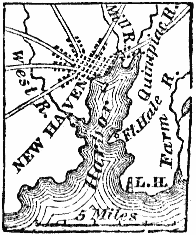
Description: A map from 1872 of the city and harbor of New Haven, Connecticut on Long Island Sound, about seventy–five miles northeast from New York City, and thirty–four southwest from Hartford.
Place Names: Connecticut, New Have
ISO Topic Categories: transportation,
inlandWaters,
oceans,
location
Keywords: New Haven, political, �physical, �transportation, physical features, local jurisdictions, roads, transportation,
inlandWaters,
oceans,
location, Unknown, 1872
Source: Marcius Willson, History of the United States (New York, NY: Ivison, Blakeman, Taylor, and Co., 1872) 107
Map Credit: Courtesy the private collection of Roy Winkelman |
|