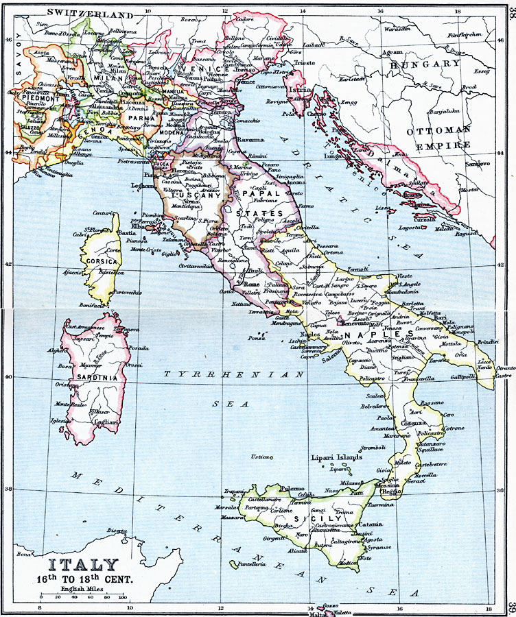
Description: A map of Italy in the 16th through 18th centuries, color–coded to show the territories of Piedmont, Saluzzo, Monteerrat, Milan, Genoa, Milan, Venice, Mantua, Parma, Modena, Tuscany, Papal States, Istria, Dalmatia, Naples, Sicily, Sardinia, and Corsica. The map shows major cities, rivers, and smaller territorial areas such as San Marino, Statu Degli Presidii, Elba, Benevento, and others.
Place Names: Italy, Bologna, �Corsica, �Florence, �Genoa, �Messina, �Milan, �Naples, �Pisa, �Rome, �Sardinia, �Sicily, �Tuscany, �Venice, �Veron
ISO Topic Categories: inlandWaters,
location,
oceans
Keywords: Italy, country borders, �political, country borders, inlandWaters,
location,
oceans, Unknown, 16th–18th Century
Source: J.G. Bartholomew, LLD, A Literary & Historical Atlas of Europe (New York, New York: E.P. Dutton & Co., Ltd. , 1910) 38-39
Map Credit: Courtesy the private collection of Roy Winkelman |
|