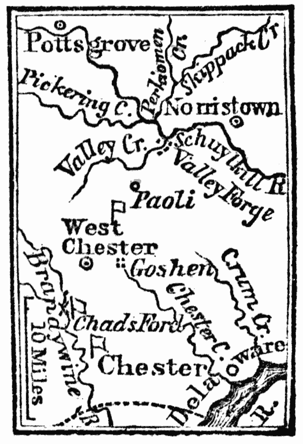
Description: A map of the area west of Philadelphia, showing important sites of the American Revolutionary War during the British campaign to capture Philadelphia, including the Battle of the Brandywine at Chad's Ford, the Battle of Paoli, and the winter headquarters of Washington at Valley Forge.
Place Names: Pennsylvania, Chester, �Westchester, �Norristown, �Pottsgrov
ISO Topic Categories: inlandWaters,
location
Keywords: West of Philadelphia, physical, kAmericanRevolution, physical features, inlandWaters,
location, Unknown, 1777
Source: Marcius Willson, History of the United States (New York, NY: Ivison, Blakeman, Taylor, and Co., 1872) 237
Map Credit: Courtesy the private collection of Roy Winkelman |
|